


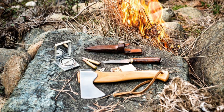


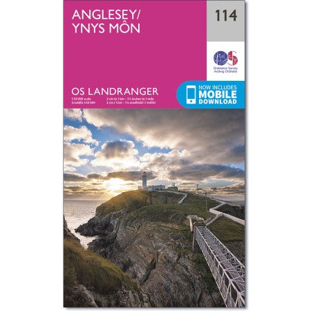


Anglesey/Ynys Mon OS Landranger 114
- Low stock - 1 item left


Military Clothing Size Guide (Click to Expand)
Military clothing sizes are listed as Height / Chest (for jackets and smocks) or Height / Waist (for trousers).
Example: 180/96 fits someone around 5'11" tall with a 38" chest.
| NATO Size (Label) | Approx Height | Chest / Waist (in) | Generic Size |
|---|---|---|---|
| 160 / 88 | 5'3"–5'5" | 34–35" | Small (S) |
| 170 / 88 | 5'7"–5'9" | 34–35" | Small (S) |
| 170 / 96 | 5'7"–5'9" | 37–38" | Medium (M) |
| 180 / 96 | 5'10"–5'11" | 37–38" | Medium (M) |
| 180 / 104 | 5'10"–5'11" | 40–41" | Large (L) |
| 190 / 96 | 6'2" | 37–38" | Medium (M) Tall |
| 190 / 104 | 6'2" | 40–41" | Large (L) Tall |
| 180 / 112 | 5'11" | 43–44" | X-Large (XL) |
| 190 / 112 | 6'2" | 43–44" | X-Large (XL) Tall |
| 200 / 120 | 6'4"+ | 46–48" | 2X-Large (2XL) |
⚙️ Sizing Tips
- The first number is your height in cm.
- The second number is your chest or waist in cm.
- Military gear is usually cut roomy for layering and movement.
- If you’re between sizes, go down for a closer fit or up for layering.
- Example: 5'11" tall with 40" chest → 180/104 (Large).
Anglesey / Ynys Mon OS Landranger 114
with mobile download
Scale 1:50 000 2cm to 1km - 1-1/4in to 1 Mile
Map sheet number 114 in the OS Landranger map series covers the rural Welsh island of Anglesey. It is surrounded by sandy beaches and rocky caves, with the inland part of the island being mostly agricultural.
Anglesey caters brilliantly for tourists with a wide choice of accommodation and things to see and do. Take a trip to the largest town on the island, Holyhead, a bustling ferry port with excellent fishing, golfing and sailing facilities.
With this map you will receive a code for use on your iOS or Android smartphone or tablet
OS Landranger maps are ideal for days when you are covering longer distances, especially if you are exploring by car or bike.
OS Landranger maps are at 1:50,000 scale, so 2 cm on the map equals 1 km in the real world. These maps cover a larger area than OS Explorer, but not in as much detail. You’ll still find footpaths, rights of way and some tourist information features on the map.
Domestic Shipping
We mainly use Royal mail 48 for items under 1kg and DPD for items over this weight. We may change this at any time dependant on service availability and destination.
We send out the majority of orders the same day of receiving upto 1pm
We also offer an express shipping service which ensures your delivery is prioritised for delivery as quick as possible and usually delivered the next working day.
We do offer Saturday delivery and timed delivery but prices are on application.
For US and Canada we mainly use Fedex priority and deliveries are usually recieved within 2 to 5 days
For EU deliveries we mainly use DPD by road and usually takes from 3 to 7 days, your parcels are not necessarily delivered by DPD in your county and the parcel may be passed to your countries nominated carrier.
Rest of the World, we have availability with all the major carriers and each is nominated dependant on the best service for the receivers destination.
If you can not get an automated shipping quote please contact us for a spot shipping quote.
If you are not entirely satisfied with your purchase, we're here to help.
You have 7 calendar days to contact us and arrange for the item to be returned which will be received by us no longer than 30 days from initial order. To be eligible for a return, your item must be unused (if applicable) and in the same condition that you received it. Your item must be in the original packaging (if applicable).
There is a £3.99 charge to use our returns facility. (UK domestic only)
To return your item(s) please click here
When sending items back please ensure that the proof of purchase (or copy) is within the package with any instructions if applicable.
Once we receive your item, we will inspect it and notify you that we have received your returned item. We will immediately notify you on the status of your refund or exchange and if applicable we will initiate a refund via your original method of payment.
If you opt for an exchange we will contact you for further postage costs. (price dependant on weight/destination).
If applicable you will receive the credit within 7 days, depending on your card issuer's policies. Contact Us If you have any questions on how to return your item to us.
